Surveying in the Mountains: Elevation, Access & Accuracy in Appalachia
- Abbie Jones
- Sep 19, 2025
- 1 min read

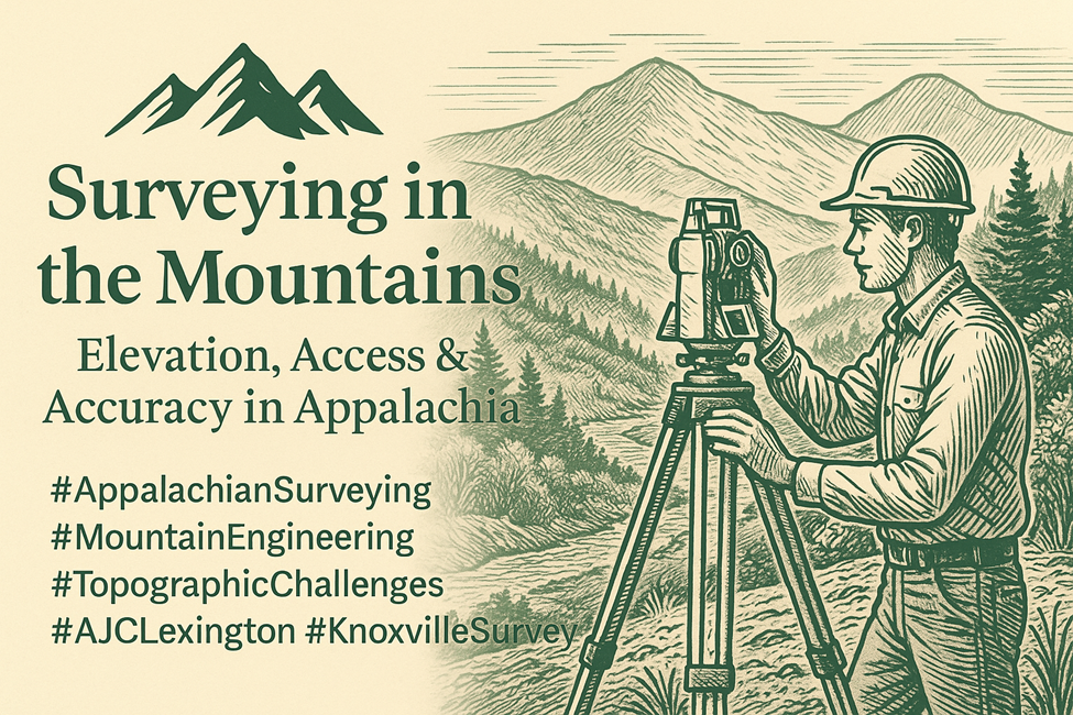
Surveying in Appalachia is a different game. Between the rolling ridgelines, limited access points, and weather variability, every mountain survey requires not just technical skill—but local expertise and grit.
At AJC, we’ve worked across Kentucky and East Tennessee’s most rugged landscapes. Whether supporting roadway design, slope stabilization, utility access, or residential development, our field crews bring a tailored approach to mountain terrain.
Here’s how we adapt:
Advanced Topo & LiDAR: To capture elevation changes with clarity.
ATV & Drone Access: When boots can’t go far enough.
Local Knowledge: Understanding right-of-way history, old surveys, and geological risk zones.
It’s not just about collecting data. It’s about creating confidence—for engineers, developers, and the communities who call these mountains home.
Let us help you build on higher ground.


Comments