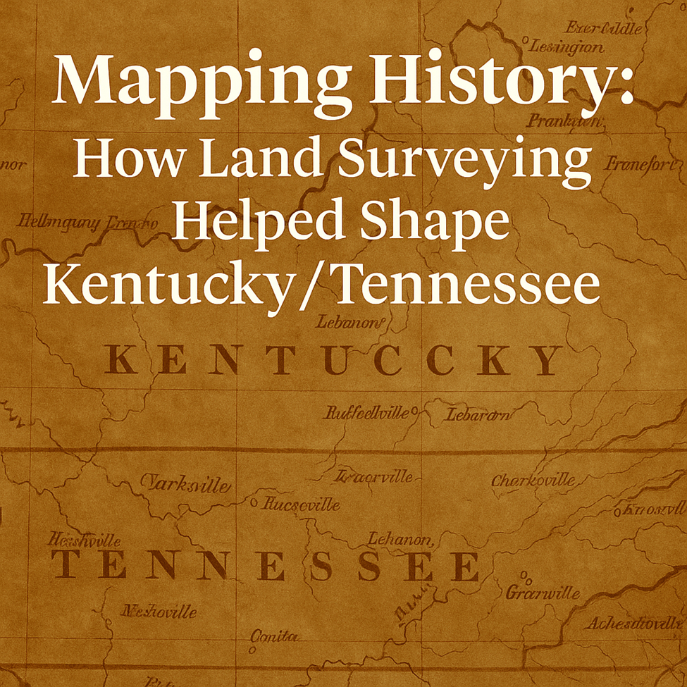
Mapping History: How Land Surveying Helped Shape Kentucky/Tennessee
- Abbie Jones
- Jul 21, 2025
- 1 min read

Long before GIS, satellites, or even paved roads, land surveyors were carving order into wilderness. In both Kentucky and Tennessee, surveying played a pivotal role in defining counties, roads, and private land boundaries that still stand today.
Early American settlers relied on surveyors to mark claims in the expanding frontier. These original “lines in the woods” defined farms, towns, and entire counties. In Kentucky, Virginia land grants fueled early surveying, while Tennessee used North Carolina’s military land grants to parcel its new territory.
Some of these early surveys used natural features—like trees, streams, or rocks—as markers. At AJC, we still uncover those original “boundary stones” in the field. They're reminders that today's property lines rest on centuries-old work.
Understanding this history isn’t just interesting—it’s practical. Many modern boundary disputes can be traced back to historical plats, deed calls, or missing monuments.
Want to uncover the story behind your property line? AJC’s surveyors connect past and present with clarity.


Comments